A Bodwell family story · Merrimack River, Massachusetts · 1653–present
Bodwell's Falls
The water that built a city
Long before Lawrence, Massachusetts existed on any map, there was a stretch of the Merrimack River known simply as Bodwell's Falls — and the story of how a family name attached itself to a river crossing, then to a set of rapids, then to a 900-foot wall of granite that still generates electricity today, is really the story of three centuries of New England history compressed into one bend of a river.
A marksman on the river
The name goes back to Henry Bodwell (1653–1745), one of the early settlers of the Merrimack Valley. Family tradition remembers him as a skilled hunter and marksman, and his land along the river was frequently crossed by Native people fording the Merrimack — sometimes to raid cattle from the common pastures nearby, a source of ongoing tension between the Bodwell family and their Indigenous neighbors during the colonial period.
That tension was not incidental color — it was the defining fact of life on that stretch of river. In April 1676, during King Philip's War, Andover itself was attacked in the area around Bodwell's Ferry, and Native raiders burned the house of Edmund Faulkner, destroying the town's records in the process. The ferry crossing wasn't a peaceful backwater — it was a contested frontier line.
The ferry years
Henry's original farm sat near the ferry, on what's now the North Lawrence side, just above where the dam stands today. The ferry itself became a family enterprise — one of Henry's descendants kept the Bodwell Ferry and also served as a town selectman. For decades, "Bodwell's Ferry" was simply how people crossed the Merrimack at that point, the same way other stretches of the river were known by whichever family ran the crossing. Much of the region's ferry network dated back to the 1740s, when ferries were first established on the Merrimack not primarily for travel between towns, but simply to get people across a river that had no bridges yet.
By the early 1700s the Bodwells were thoroughly rooted in the area — Henry's heirs even received land grants for his service in the earlier Narragansett War — and the family name had attached itself permanently to both the crossing and the rapids just downstream of it.
From ferry crossing to industrial gamble
For over a century, Bodwell's Falls was just a geographic footnote — useful water power for local mills, nothing more. That changed in 1842, when two men, Daniel Saunders and Charles Storrow, stood on the Andover Bridge looking down at the falls and began talking about something much bigger than a local mill: an entirely new manufacturing town built along the Merrimack, modeled on the success already seen upriver at Lowell and Manchester.
Three years later, in 1845, that conversation became a company. A group of Boston financiers — Abbott Lawrence, Nathan Appleton, Patrick Jackson, and others — had already quietly bought up control of the falls upriver, giving them the water rights they needed at what was still called Bodwell's Falls, ground they described as resting on solid blue stone, naturally shaped for a permanent dam and a whole system of canals. They named their venture the Essex Company, and they promoted the Bodwell's Falls site specifically for the abundant water power it offered.
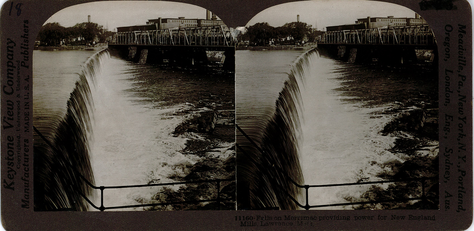
Construction ran from 1845 to 1848. What they built was enormous for its time: a dam 900 feet long and 35 feet high, built largely by immigrant laborers. It became known as the Great Stone Dam — and it sat exactly on top of the rapids that had carried the Bodwell name for a hundred and fifty years. The town that grew up around it was incorporated in 1847 and named not for the falls that made it possible, but for Abbott Lawrence, the financier who led the venture.
What Bodwell's Falls became
The gamble paid off spectacularly. The dam fed two canals — the North Canal and, later, a South Canal completed in 1896 — which at their peak delivered roughly 13,000 horsepower to the mills lining them. Lawrence grew from farmland into one of the largest woolen-textile manufacturing centers in the country within a generation — a transformation that started at the exact spot where a colonial marksman once kept a ferry.
Bodwell's Falls today
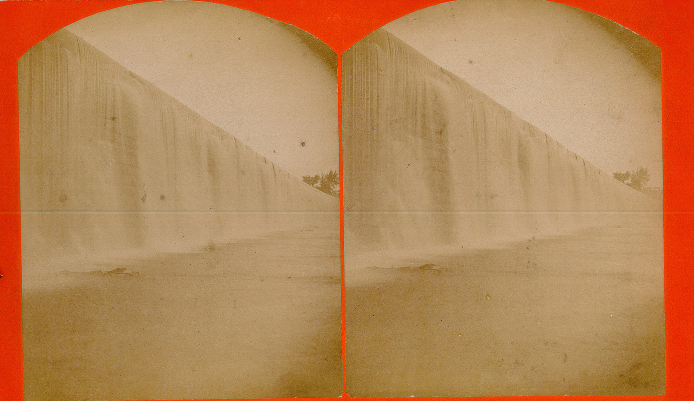
Remarkably, the dam is still standing and still working — one of the rare pieces of 1840s industrial infrastructure still doing its original job. A few key facts about its current state:
-
It's a protected historic landmark.
The Great Stone Dam was added to the National Register of Historic Places in 1977 and is a contributing structure in the North Canal Historic District.
-
It still generates power.
It has been the site of an active hydroelectric power plant since 1981, currently rated at 16.8 megawatts and producing an average of roughly 64,600 megawatt-hours a year — enough to matter on the regional grid, not just as a museum piece.
-
Ownership has passed through the decades.
The Essex Company's assets eventually passed to Enel North America, and the dam is now operated by Patriot Hydro under a federal license that expires in 2028 — meaning the site is currently in the middle of a formal relicensing process with federal regulators.
-
It's at the center of a modern environmental debate.
State and federal wildlife agencies have pushed for better fish and eel passage at the dam, since it's the first barrier migratory fish encounter on their way upriver from the Atlantic — the same stretch of river the Bodwell family once ferried travelers across is now a flashpoint in Merrimack River conservation policy.
-
It's still physically massive.
Today's measurements put it at 943 feet long and 38 feet tall, impounding nearly 20,000 acre-feet of water across 655 surface acres that stretch upstream through Andover, Lowell, and Methuen.
So the throughline runs unbroken: a ferry crossing named for a marksman, a set of rapids that inherited his name, a bet by Boston financiers that turned those rapids into a dam, a dam that built a city — and a dam that, nearly 180 years later, is still standing in the same spot, still making power, and still the subject of arguments about the river it was built on.